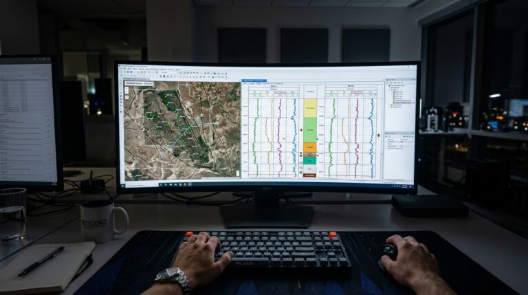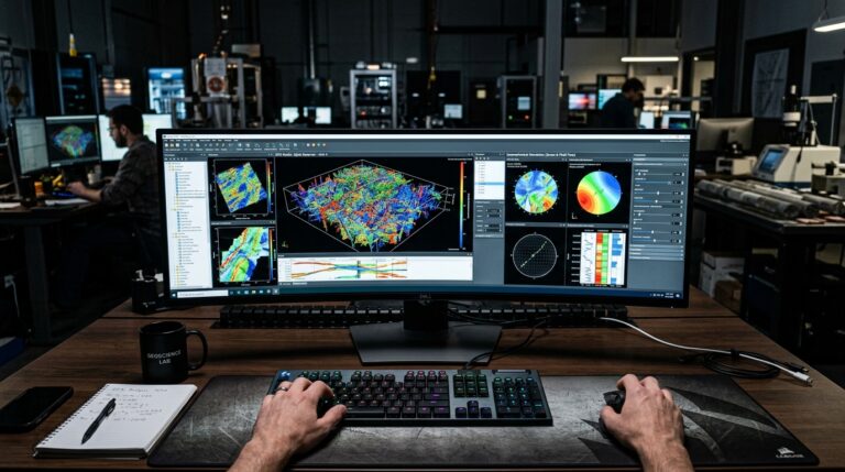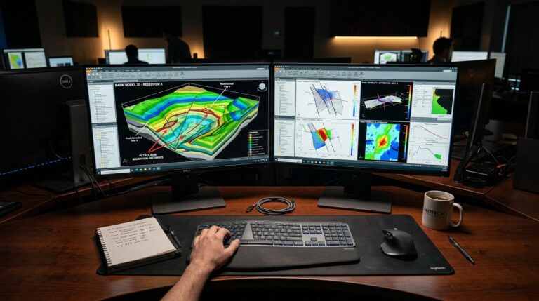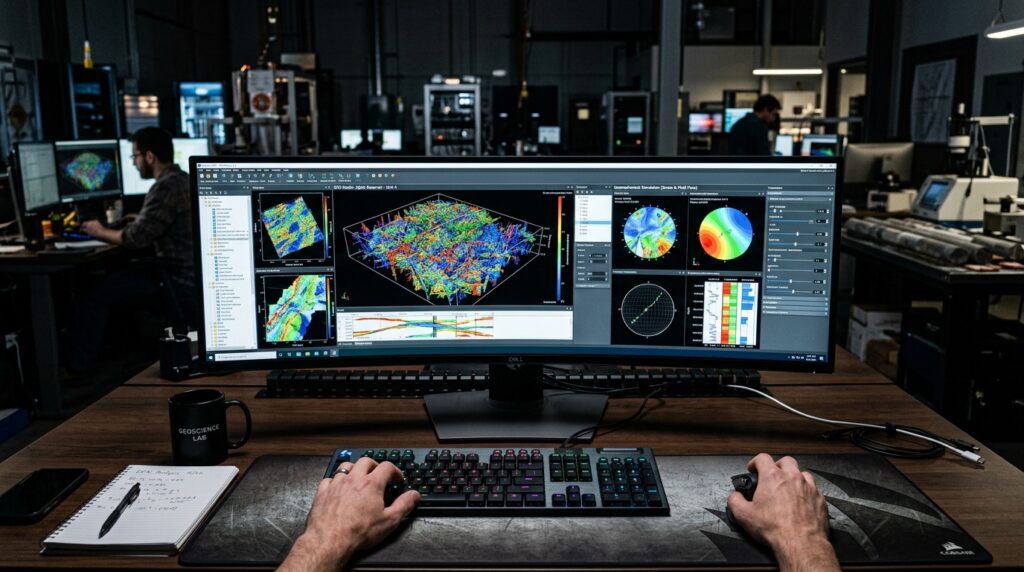
In the field of petroleum and energy engineering, accurate subsurface characterization is paramount for successful exploration and production. Geologists and geophysicists rely on advanced software solutions to construct detailed geological models that capture the inherent complexity of the Earth’s crust. Addressing these challenges, SKUA GOCAD offers a robust suite of tools specifically designed for geological modeling, seismic interpretation, and basin analysis, enabling professionals to build comprehensive subsurface representations.
This article delves into the core capabilities and unique aspects of SKUA GOCAD, providing a technical overview to help professionals evaluate its fit for their specific project requirements, particularly when dealing with intricate structural geometries and the need for modern data integration. It focuses on the practical application of its features in real-world engineering workflows.
Need This Software?
Contact us to request the software and receive download and access information.
Key Facts
- Category: Geology, Seismic Interpretation & Basin Modeling
- Best for: Geologist / Geophysicist
- Also compare: RMS, Paradigm Interpret, JewelSuite
Understanding SKUA GOCAD: Core Capabilities for Subsurface Modeling
SKUA GOCAD provides geologists and geophysicists with a comprehensive environment for building, analyzing, and visualizing complex 3D geological models. Its design focuses on integrating diverse subsurface data to create coherent and representative models for reservoir characterization and development planning, supporting critical decisions throughout the E&P lifecycle. The platform facilitates the transformation of raw geological and geophysical data into actionable insights through its advanced modeling algorithms.
Comprehensive 3D Geomodeling: Structural and Stratigraphic Frameworks
At its foundation, SKUA GOCAD excels in constructing detailed 3D geomodels that incorporate both structural and stratigraphic elements. This capability allows users to build a complete subsurface representation from disparate data sources such as well logs, seismic surveys, and geological maps. The integration of these various data types ensures that the resulting models are geologically consistent and representative of the subsurface reality.
- Structural 3D geomodeling: This involves developing models that accurately reflect fault networks, folds, and other tectonic deformation patterns. Engineers can define complex fault geometries, including non-planar faults and fault intersections, and observe their impact on rock formations and fluid pathways. This is crucial for understanding reservoir compartmentalization and predicting fluid flow.
- Stratigraphic 3D geomodeling: This focuses on constructing models that capture the depositional history and layering of subsurface formations. SKUA GOCAD allows for the accurate representation of unconformities, erosional surfaces, and various depositional sequences, which are fundamental for understanding reservoir architecture and heterogeneity. The ability to model intricate stratigraphic relationships directly impacts resource estimation and well placement strategies.
Implicit Modeling: Handling Geological Complexity
A distinctive feature of SKUA GOCAD is its implicit modeling approach, which offers significant advantages when dealing with highly complex geological geometries. Unlike explicit methods that require manual definition of every surface and boundary, implicit modeling uses mathematical functions to define geological features based on sparse input data. This method simplifies the process of modeling challenging structures that often pose difficulties for traditional explicit gridding techniques, such as highly deformed strata or intricate fault systems. The underlying mathematical framework ensures geological consistency and allows for more rapid model construction and update cycles.
SKUA GOCAD’s implicit modeling paradigm is particularly effective for geologically complex geometries such as intricate salt bodies and densely faulted networks, streamlining the creation of robust subsurface models. This approach reduces the manual effort and time typically associated with modeling highly distorted or discontinuous geological features, leading to more efficient and reliable model generation for challenging hydrocarbon traps.
Uncertainty-Aware Geological Modeling
Recognizing that geological interpretation inherently involves uncertainty due to data sparsity and geological variability, SKUA GOCAD incorporates features that allow for uncertainty-aware geological modeling. This capability enables professionals to construct multiple plausible geological realizations by varying input parameters and geological interpretations within defined probability distributions. By generating an ensemble of models, users can evaluate the range of possible geological scenarios, which is critical for robust risk assessment in resource estimation, volumetric calculations, and field development planning. This probabilistic approach provides a more comprehensive understanding of the subsurface and helps quantify the impact of geological uncertainty on economic outcomes.
OSDU Data Platform Compatibility
In response to evolving industry standards for data management, SKUA GOCAD offers OSDU (Open Subsurface Data Universe) data-platform compatibility. This integration facilitates seamless data access and exchange within modern, standardized data ecosystems. By adhering to OSDU principles, SKUA GOCAD enables users to connect and work with data stored in OSDU-compliant platforms, enhancing interoperability, reducing data silos, and improving data governance. This compatibility is crucial for multidisciplinary teams working in large organizations, as it streamlines collaboration and workflow efficiency by providing a unified view of subsurface data assets, regardless of their original source or format.
Differentiating SKUA GOCAD: Implicit vs. Traditional Methods
The primary differentiator for SKUA GOCAD lies in its implicit modeling methodology. Unlike traditional explicit-gridding geomodeling tools where surfaces and volumes are constructed point-by-point or through explicit mesh generation, implicit modeling defines geometries through mathematical functions derived from sparse interpreted data. This approach generates a continuous field representing the geology, from which surfaces and volumes can be extracted. This methodology is particularly advantageous for several key aspects of subsurface modeling:
- Complex structural geometries: Implicit modeling excels at effectively modeling highly contorted or discontinuous features, which are common in many petroleum basins. This includes intricate salt diapirs, complex unconformities, or regions with dense and intersecting fault networks where traditional explicit methods often struggle to maintain topological consistency. The mathematical functions inherently handle intersections and connectivity, ensuring a coherent geological framework.
- Dynamic model updates: The functional basis of implicit models allows for more efficient and less labor-intensive updates to geological models as new data becomes available or interpretations change. Instead of rebuilding entire surfaces or volumes, the underlying functions can be quickly re-evaluated with updated constraints, significantly reducing the time required for model iteration and refinement. This agility is vital during exploration and appraisal phases where interpretations are frequently revised.
- Reduced manual intervention: By automating aspects of model building that would otherwise require extensive manual manipulation in explicit modeling environments, implicit modeling streamlines the workflow. Geologists can focus more on interpreting the data and understanding the geology, rather than spending significant time on meshing and repairing topological errors. This leads to faster model delivery and allows for more time to perform sensitivity analyses.
For geologists and geophysicists routinely encountering such challenging subsurface conditions, the implicit modeling capabilities of SKUA GOCAD can significantly reduce modeling time, improve model fidelity, and allow for more rapid testing of geological hypotheses, ultimately leading to more robust reservoir characterization.
SKUA GOCAD in the Geomodeling Ecosystem
SKUA GOCAD operates within a broader ecosystem of subsurface modeling software. Understanding its position relative to other tools can assist in software selection, as each platform may offer different strengths or workflow optimizations. The table below illustrates its category and provides context against related products frequently used in geological and geophysical interpretation.
| Product | Category | Primary Use Case |
|---|---|---|
| SKUA GOCAD | Geology, Seismic Interpretation & Basin Modeling | Integrated 3D geological modeling, especially for complex structures via implicit modeling. |
| RMS | Geology, Seismic Interpretation & Basin Modeling | Geology, Seismic Interpretation & Basin Modeling |
| Paradigm Interpret | Geology, Seismic Interpretation & Basin Modeling | Geology, Seismic Interpretation & Basin Modeling |
| JewelSuite | Geology, Seismic Interpretation & Basin Modeling | Geology, Seismic Interpretation & Basin Modeling |
Who Can Benefit from SKUA GOCAD
SKUA GOCAD is designed for geologists and geophysicists working in oil and gas exploration and production, particularly those involved in specific types of challenging subsurface characterization workflows. Its robust feature set makes it suitable for professionals who need to:
- Construct detailed 3D geological models for complex reservoirs, where traditional modeling approaches might be time-consuming or yield less accurate results.
- Interpret seismic data in conjunction with geological information to build integrated earth models, ensuring consistency between geophysical observations and geological frameworks.
- Perform comprehensive uncertainty analysis on subsurface interpretations, allowing for a more thorough assessment of geological risk and better-informed decision-making.
- Work within modern, OSDU-compliant data platforms, leveraging standardized data management for efficient and collaborative projects.
- Address projects requiring efficient and accurate modeling of intricate structures like salt bodies, highly fractured basement reservoirs, or dense fault systems where implicit modeling offers significant advantages in terms of speed and geological fidelity.
Its capabilities position it as a robust tool for professionals seeking to improve the accuracy, efficiency, and geological realism of their subsurface modeling workflows, especially when confronted with the most challenging geological settings.
FAQ
What are the primary applications of SKUA GOCAD in petroleum engineering?
SKUA GOCAD is primarily applied in constructing detailed 3D geological models for exploration and production, seismic interpretation, basin analysis, and reservoir characterization. It is particularly well-suited for modeling complex structural and stratigraphic frameworks and performing uncertainty analysis in petroleum engineering projects.
How does implicit modeling in SKUA GOCAD enhance geological model building?
Implicit modeling in SKUA GOCAD enhances geological model building by defining complex geometries through mathematical functions, rather than explicit surface creation. This approach simplifies the modeling of intricate structures like salt bodies and dense fault networks, enables more efficient model updates with new data, and reduces the manual intervention typically required in traditional explicit modeling workflows.
Can SKUA GOCAD integrate with various types of subsurface data?
Yes, SKUA GOCAD is designed to integrate diverse subsurface data sources, including well logs, seismic surveys, and geological maps, to construct comprehensive 3D geological models. This capability ensures that models are coherent and representative, leveraging all available information for accurate subsurface characterization.
What are the advantages of SKUA GOCAD’s uncertainty-aware modeling features?
The uncertainty-aware modeling features in SKUA GOCAD allow professionals to evaluate a range of possible geological scenarios by generating multiple plausible models based on varying input parameters and interpretations. This is critical for robust risk assessment in resource estimation and field development planning, providing a more comprehensive understanding of subsurface variability and its potential impact.
How does SKUA GOCAD support modern data management workflows through OSDU compatibility?
SKUA GOCAD supports modern data management workflows through its OSDU (Open Subsurface Data Universe) data-platform compatibility. This integration enables seamless access and exchange of data within standardized data ecosystems, enhancing interoperability, improving data governance, and facilitating collaboration among multidisciplinary teams by providing a unified view of subsurface data assets.
Need Access to This Software?
Need this software for your project? Contact us for download access, availability, and related information.
Conclusion
SKUA GOCAD is a specialized software solution particularly well-suited for geologists and geophysicists who frequently encounter complex geological structures and require robust, integrated subsurface models. Its implicit modeling approach and OSDU data-platform compatibility differentiate it in workflows involving intricate structural geometries, dynamic model updates, and seamless data integration within modern data ecosystems. The platform supports comprehensive 3D geomodeling, structural and stratigraphic analysis, and uncertainty quantification, providing a powerful environment for accurate and efficient subsurface characterization in exploration and production. If SKUA GOCAD aligns with your subsurface modeling challenges, particularly those involving complex geology and modern data integration, consider submitting an inquiry through petroleumsoftware.ir to learn more about its specific applications for your projects.