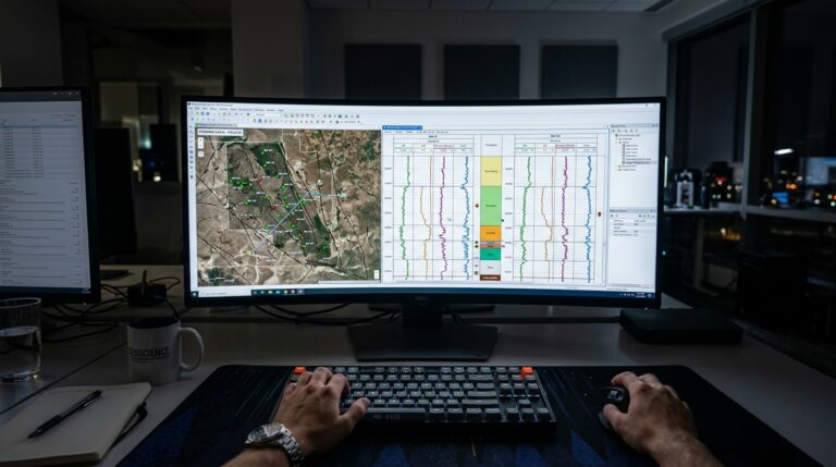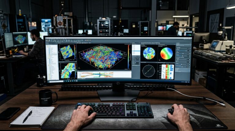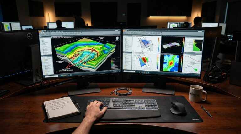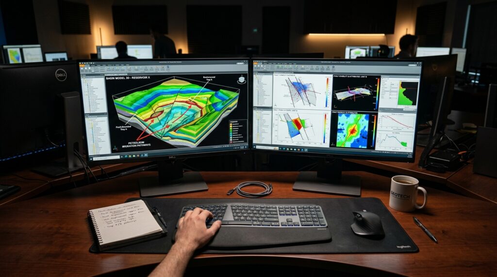
Geologists and geophysicists require robust software to interpret complex subsurface data, integrating diverse datasets from wells, seismic surveys, and production histories. Identifying a solution that offers comprehensive tools without unnecessary overhead is critical for efficient project execution. This article explores GVERSE GeoGraphix, an integrated geological and geophysical interpretation platform, detailing its core capabilities and ideal applications within the petroleum engineering workflow.
Need This Software?
Contact us to request the software and receive download and access information.
Key Facts
- Category: Geology, Seismic Interpretation & Basin Modeling
- Best for: Geologist / Geophysicist
- Also compare: Seisware, IHS Kingdom, Petrosys PRO
What is GVERSE GeoGraphix?
GVERSE GeoGraphix is an integrated, PC-based software solution designed for geological and geophysical interpretation. It combines the long-running GeoGraphix interpretation engine, originally developed by Landmark Graphics (a Halliburton product line), with LMKR’s GVERSE modernization and distribution layer. This synergy provides a comprehensive environment for G&G professionals to perform well correlation, mapping, cross-section generation, and integrate various forms of data.
Core Capabilities for Interpretation and Analysis
The functionality of GVERSE GeoGraphix extends across critical aspects of geological and geophysical workflows, offering tools that support data integration, visualization, and interpretation.
Integrated Geological and Geophysical Interpretation
The software provides a unified platform for both geological and geophysical interpretation tasks. This integration allows users to move seamlessly between different data types and analyses, fostering a holistic understanding of the subsurface. Its PC-based architecture supports detailed interpretation work directly on a workstation.
Well Correlation, Mapping, and Cross-Section Tools
Key to any G&G interpretation are tools for well correlation, mapping, and cross-section creation. GVERSE GeoGraphix offers features that enable geologists and geophysicists to:
- Perform detailed well log correlation across multiple wells.
- Generate precise subsurface maps.
- Construct comprehensive cross-sections to visualize geological structures and stratigraphy.
Production and Land Data Integration
For operations focused on smaller assets, the ability to integrate production and land data directly into the interpretation workflow is crucial. GVERSE GeoGraphix facilitates this integration, providing a more complete picture for asset management and development decisions.
GVERSE Cloud and Collaboration Layer
Building upon the foundational GeoGraphix engine, the GVERSE modernization layer introduces cloud and collaboration capabilities. This allows teams to share data, projects, and insights more effectively, enhancing teamwork and streamlining workflows for distributed teams or larger organizations.
Who Benefits Most from GVERSE GeoGraphix?
GVERSE GeoGraphix is positioned as a lighter-weight alternative to larger, full-scale platforms like DecisionSpace or Petrel. This makes it particularly advantageous for:
- Independent Operators: Who require comprehensive interpretation tools without the complexity or scale of enterprise-level software.
- Smaller Exploration and Production Companies: Seeking integrated G&G solutions for managing their assets efficiently.
- Teams Focusing on Specific, Smaller Assets: Where deep integration of production and land data is paramount for decision-making.
Its blend of a proven interpretation engine with modern collaboration features offers a balanced solution for these user segments.
The Relationship Between LMKR and Landmark GeoGraphix
GVERSE GeoGraphix represents a unique collaboration and distribution model. The core interpretation engine originates from Landmark Graphics, a Halliburton brand, known for its long-standing GeoGraphix product line. LMKR holds a long-term exclusive agreement to develop, market, and distribute this software under the “GVERSE” brand. This arrangement ensures continuous updates and development of the GeoGraphix technology, enhanced by LMKR’s GVERSE cloud and collaboration layer, while leveraging Landmark’s established reputation in G&G software.
GVERSE GeoGraphix vs. Other Interpretation Software
Understanding where GVERSE GeoGraphix stands relative to other products in the market can help professionals make an informed decision. The following table lists related and competing products in the Geology, Seismic Interpretation & Basin Modeling category:
| Product Name | Category |
|---|---|
| GVERSE GeoGraphix | Geology, Seismic Interpretation & Basin Modeling |
| Seisware | Geology, Seismic Interpretation & Basin Modeling |
| IHS Kingdom | Geology, Seismic Interpretation & Basin Modeling |
| Petrosys PRO | Geology, Seismic Interpretation & Basin Modeling |
Why Choose GVERSE GeoGraphix for your Work?
For geologists and geophysicists, the decision to adopt a specific software solution hinges on its ability to streamline workflows, integrate diverse data, and provide accurate interpretations. GVERSE GeoGraphix offers a compelling package through its integrated PC-based G&G interpretation capabilities, robust well correlation and mapping tools, and crucial integration of production and land data for smaller assets. The addition of a cloud/collaboration layer further enhances its utility, providing a modern, efficient environment for subsurface analysis. Its unique positioning, combining a proven engine with a dedicated modernization effort, makes it a strong contender for professionals seeking a comprehensive yet accessible interpretation platform.
Frequently Asked Questions About GVERSE GeoGraphix
What types of data can GVERSE GeoGraphix integrate?
GVERSE GeoGraphix is designed to integrate diverse datasets, including well data, seismic survey data, production histories, and land data, to facilitate comprehensive subsurface interpretation.
Is GVERSE GeoGraphix suitable for large-scale interpretation projects?
GVERSE GeoGraphix is positioned as a lighter-weight alternative to larger, full-scale platforms, making it well-suited for independent operators, smaller exploration and production companies, and teams focusing on specific, smaller assets.
How does GVERSE GeoGraphix support collaborative workflows?
The GVERSE modernization layer introduces cloud and collaboration capabilities, enabling teams to share data, projects, and insights effectively, which supports distributed teams and enhances teamwork.
What are the core geological and geophysical interpretation capabilities?
Key capabilities include integrated geological and geophysical interpretation, detailed well log correlation, generation of subsurface maps, and construction of comprehensive cross-sections.
How does GVERSE GeoGraphix relate to the original Landmark GeoGraphix platform?
GVERSE GeoGraphix combines the established GeoGraphix interpretation engine, originally from Landmark Graphics, with LMKR’s GVERSE modernization and distribution layer, under an exclusive development and distribution agreement by LMKR.
Need Access to This Software?
Need this software for your project? Contact us for download access, availability, and related information.
Conclusion
GVERSE GeoGraphix provides geologists and geophysicists with an integrated and accessible platform for subsurface interpretation, particularly beneficial for independents and smaller operators who require comprehensive G&G tools without the overhead of enterprise-level software. Its blend of a proven interpretation engine with modern cloud and collaboration features supports efficient workflows for asset management and development. To explore how GVERSE GeoGraphix can enhance your specific geological and geophysical interpretation projects, submit an inquiry through petroleumsoftware.ir.