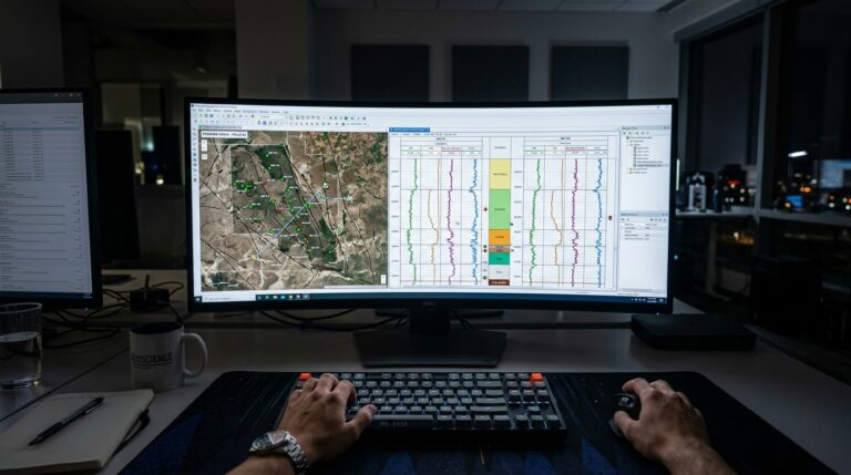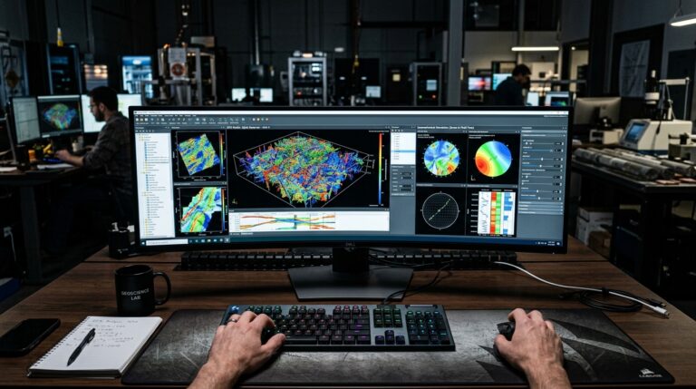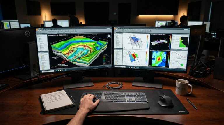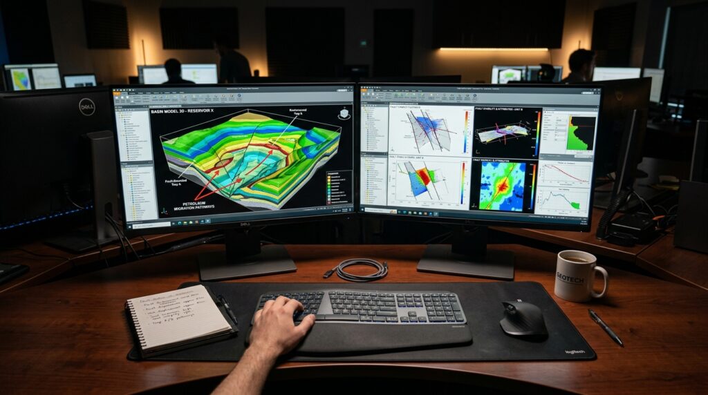
Understanding the right software for geological and geophysical (G&G) interpretation is crucial for effective subsurface analysis. While new technologies continuously emerge, many organizations still rely on established platforms for maintaining historical projects and ensuring data continuity. Schlumberger GeoFrame represents one such platform, holding a significant place in the evolution of G&G interpretation software. Originally developed by GeoQuest Systems and later integrated into Schlumberger’s portfolio, GeoFrame was designed as a comprehensive, integrated workstation environment.
Need This Software?
Contact us to request the software and receive download and access information.
Today, GeoFrame primarily serves as a tool for managing legacy geological and geophysical project data and supporting existing workflows. Its role in the industry has evolved, particularly with the advent of platforms like Schlumberger Petrel as SLB’s flagship G&G interpretation environment. This article will explore the core capabilities of Schlumberger GeoFrame and its relevance in current G&G operations, focusing on its utility for legacy data management and its context within modern migration strategies.
Key Facts
- Category: Geological and Geophysical (G&G) Interpretation
- Best for: Geologists and Geophysicists who work with historical project data or are involved in transitioning legacy interpretation workflows.
- Also compare: Schlumberger Petrel, Schlumberger WingLink
What is Schlumberger GeoFrame?
Schlumberger GeoFrame is an integrated interpretation workstation environment that provided a unified platform for multi-disciplinary G&G workflows. It served as a foundational tool for geologists and geophysicists, facilitating processes from seismic interpretation to reservoir simulation preparatory tasks. Its design predates the modern Petrel platform, establishing it as a key historical development in integrated G&G software.
For many years, GeoFrame was a cornerstone for professionals needing a cohesive environment to manage complex subsurface data and interpretation projects. While its status has transitioned to maintenance and legacy support, its original architecture enabled extensive data integration and collaborative workflows across various G&G disciplines.
Core Capabilities for Legacy Projects
GeoFrame’s design focused on providing a comprehensive suite of tools for various G&G tasks. These capabilities are particularly relevant for organizations still maintaining and referencing historical projects developed within the GeoFrame environment.
Integrated Seismic-to-Simulation Interpretation
At its core, GeoFrame functioned as an integrated seismic-to-simulation interpretation workstation. This allowed users to move through various stages of subsurface analysis within a single, connected environment. Key aspects included:
- Seismic Interpretation: Tools for detailed seismic data analysis.
- Geological Modeling: Capabilities to build and refine geological models based on interpreted data.
- Workflow Integration: Connecting interpretation results directly to inputs for simulation studies.
Well Correlation and Mapping Modules
The platform incorporated dedicated modules for well correlation and mapping, essential tasks for understanding subsurface stratigraphy and structural features. These modules enabled geologists to:
- Perform detailed well log correlation.
- Generate various types of geological maps to visualize subsurface structures and property distributions.
Geological/Geophysical Project Data Management
A significant strength of GeoFrame was its ability to manage large and complex geological and geophysical project data. This included structured frameworks for storing, retrieving, and organizing diverse datasets, ensuring data integrity and accessibility for long-term projects.
Multi-Disciplinary G&G Workflows
GeoFrame facilitated multi-disciplinary workflows, allowing different G&G specialists to collaborate and contribute to a unified project. This integration was designed to streamline the interpretation process from initial data loading through to final model generation.
Schlumberger GeoFrame: Legacy and Differentiator
The primary differentiator for Schlumberger GeoFrame today lies in its historical significance and its role in supporting existing legacy projects. It was SLB’s original unified interpretation platform, inherited from GeoQuest Systems, which established the precedent for integrated G&G environments before the development of Petrel.
For organizations with decades of accumulated project data within the GeoFrame format, the software remains a critical tool for access, continuity, and eventual data migration strategies rather than for new project deployments. It represents a mature platform where established workflows are maintained.
The petroleumsoftware.ir platform acknowledges the importance of maintaining access to and understanding of such legacy systems to support the full lifecycle of E&P projects.
Who Still Uses Schlumberger GeoFrame?
GeoFrame is typically utilized by organizations that:
- Possess extensive archives of historical G&G projects created using GeoFrame.
- Require access to these legacy datasets for re-evaluation, integration into new studies, or regulatory compliance.
- Are in the process of migrating their G&G data and workflows from GeoFrame to newer platforms like Schlumberger Petrel.
- Maintain specialized workflows or tools that are deeply integrated with the GeoFrame environment.
Schlumberger GeoFrame in the SLB Ecosystem
Within the Schlumberger software ecosystem, GeoFrame has been superseded by Petrel as the primary G&G interpretation environment. GeoFrame now operates in a legacy and maintenance status. This transition means that while GeoFrame continues to be supported for existing users, new software development and cutting-edge features are concentrated on Petrel.
For many users, understanding GeoFrame is now integral to executing successful data migration projects to Petrel, ensuring the valuable information embedded in older projects can be seamlessly transferred and leveraged in modern workflows.
| GeoFrame Key Capability | Context and Relevance |
|---|---|
| Integrated Interpretation Workstation | Provided a unified environment for seismic, geology, and pre-simulation tasks. Essential for historical project context. |
| Well Correlation & Mapping | Core modules for stratigraphic analysis and subsurface visualization. Supports existing geological interpretations. |
| G&G Project Data Management | Robust system for organizing diverse datasets from legacy projects. Critical for data accessibility. |
Related & Competing Software in G&G Interpretation
While Schlumberger GeoFrame carved out its niche, the broader G&G interpretation software landscape includes several other prominent tools:
- Schlumberger Petrel: The current flagship integrated G&G interpretation and modeling platform from SLB, often the target for GeoFrame data migration.
- Schlumberger WingLink: A tool also used in geological interpretation, often for specific data types or workflows.
- Schlumberger OMNI 3D: Associated with seismic data processing and visualization, complementing interpretation efforts.
These products represent different facets or generations of tools designed to address the complex challenges of G&G interpretation and subsurface characterization.
FAQ
What is the primary function of Schlumberger GeoFrame in today’s G&G industry?
Today, Schlumberger GeoFrame primarily functions as a tool for managing legacy geological and geophysical project data and supporting existing workflows for organizations with historical projects developed within the GeoFrame environment. It is not typically used for new project deployments.
How does GeoFrame’s project data management system support long-term G&G initiatives?
GeoFrame includes structured frameworks for storing, retrieving, and organizing diverse G&G datasets. This system is critical for maintaining data integrity and accessibility for historical projects over the long term, enabling re-evaluation or integration into new studies.
What types of multi-disciplinary workflows did GeoFrame enable for geologists and geophysicists?
GeoFrame facilitated integrated seismic-to-simulation interpretation workflows. This included capabilities for seismic data analysis, geological modeling, well log correlation, mapping, and connecting interpretation results to inputs for reservoir simulation preparatory tasks, allowing collaboration across various G&G disciplines.
What is GeoFrame’s relationship to Schlumberger Petrel in the overall software portfolio?
Within the Schlumberger software ecosystem, GeoFrame has been superseded by Petrel as the primary G&G interpretation environment. GeoFrame now operates in a legacy and maintenance status, with Petrel being the focus for new software development and cutting-edge features. Understanding GeoFrame is now integral for data migration to Petrel.
Is GeoFrame still suitable for new G&G interpretation projects and deployments?
No, GeoFrame is not generally recommended or deployed for new G&G interpretation projects. Its primary relevance today is for supporting existing legacy projects, accessing historical data, and facilitating data migration to modern platforms like Schlumberger Petrel.
Need Access to This Software?
Need this software for your project? Contact us for download access, availability, and related information.
Conclusion
Schlumberger GeoFrame remains a pertinent software for geologists and geophysicists who manage legacy geological and geophysical project data or are involved in transitioning historical interpretation workflows. Its historical significance as an integrated G&G interpretation workstation makes it valuable for maintaining data continuity and understanding past project contexts, particularly when considering migration to modern platforms. To discuss your specific legacy GeoFrame project needs or explore migration options to current interpretation platforms, submit an inquiry through petroleumsoftware.ir’s request form.